Anaconda, MT: Public and private property
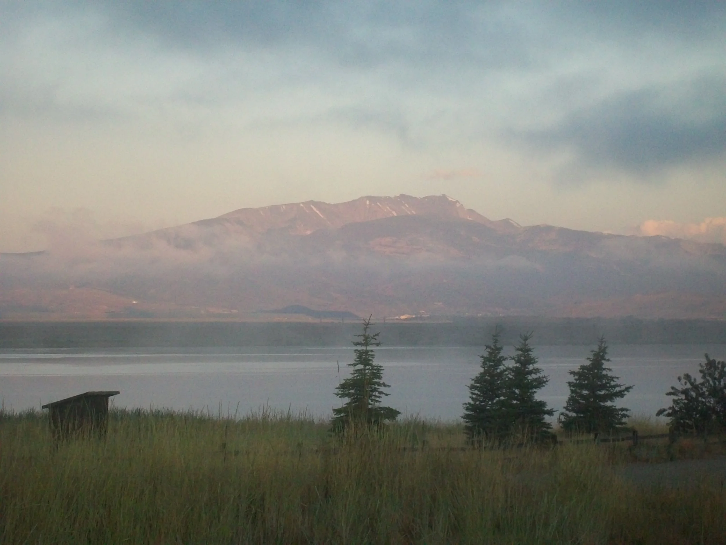
Anacondas the morning after a huge lightening storm as viewed from the Warm Springs Wildlife Refuge
In the last couple of days, I’ve learned a lot about how private property affects the development of long distance trails. Lots of “no trespassing signs” blocked perfectly good trails over bald grassy hills that I can see on my map and on my GPS and with my eyes. We followed one trail perfectly until it hit a “Safety Zone. Cross this gate, and you’ll be shot” sign, even though the trail continued clearly on the otherside of the gate. We traversed the fence for a long time, only to find other fences.
It was almost nightfall and we could see far because the hills were tree-less. I felt the adrenaline running as we hopped barbed wire fence after barbed wire fence in the dark, watching the sky in front of us fill with clouds and lightening. We needed to run from shelter, but we didn’t want to go near the houses where people would shoot us for hopping their fences. The hills were really steep and I swear I could hear dogs barking to come after us. I wanted off, off, off those hills–there was no way to tell from a map or GPS what is public and what is private, who owns what, and where I will be shot if I go.
We staggered to the base of the hills and found big piles of old brick and rusted metal–what looked like an old dump. We walked cautiously, though I felt happy because dumps are on public land–right? We hopped our last gate near a house quickly, only to see it too had a “No Trespassing Sign.” We found ourselves on a road that is also the CDT (the CDT is often just a route on a road), we started walking down a street of nothing but rural ranches and “Private Property” signs. It was dark and about to rain and we didn’t think there was any place to camp. We finally found a ditch across from a dilapidated old trailer home and pitched the shelter. I heard cars drive by at midnight and 2 am, slowing down near us. I couldn’t sleep I was so sure we’d be shot by meth-heads.
From a place on trail, my GPS showwed 5 miles to a town clearly visible from the ridge, but we ended up walking almost 15 around private property. Quite a bummer for the hiker seeking the temptation of food and a bed in town. Many congrats to those who work hard on right of ways for trails and those kind private property owners who are friendly to hikers and trails!