Intro to the Snowdonia Way
I’m hiking a new route across Snowdonia National Park in Northern Wales: the Snowdonia Way. Despite not even knowing Snowdonia exists until a few months ago, after googling photos, I knew I had to hike there. Because I enjoy visiting new countries “thru-hiker style,” I was thrilled to discover a new guide book for a new route across the park. It’s an extra perk for me to try a route that few (if anyone besides the inventor) have done before. Fortunately for me, the Snowdonia Way seems an ideal to visit the mountains and villages of North Wales, as a hiker on foot.
The ~100-ish mile-long Snowdonia Way hits the Snowdonia National Park’s highlights from the wild to the human. It visits remote peaks with ocean views to the highest mountain in Wales: the picturesque (and equally crowded) Mt. Snowdon. But the Snowdonia Way also shows off 3,000 years of history in North Wales, including Stonehenge-esque stone circles.

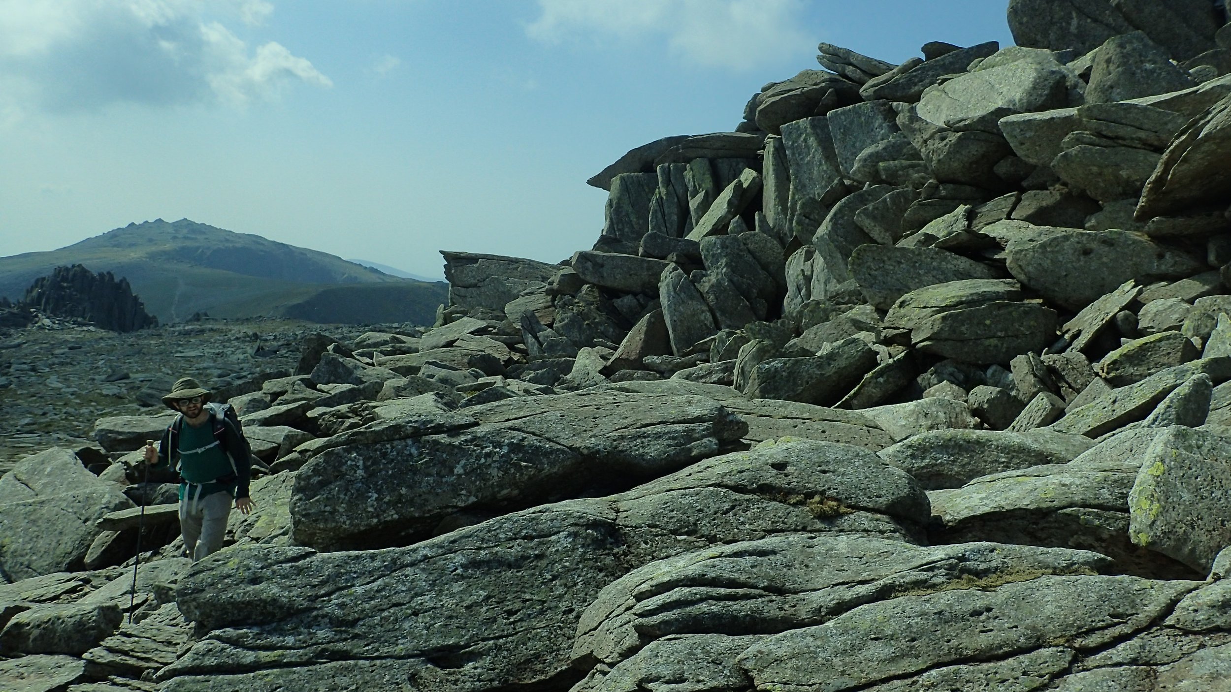
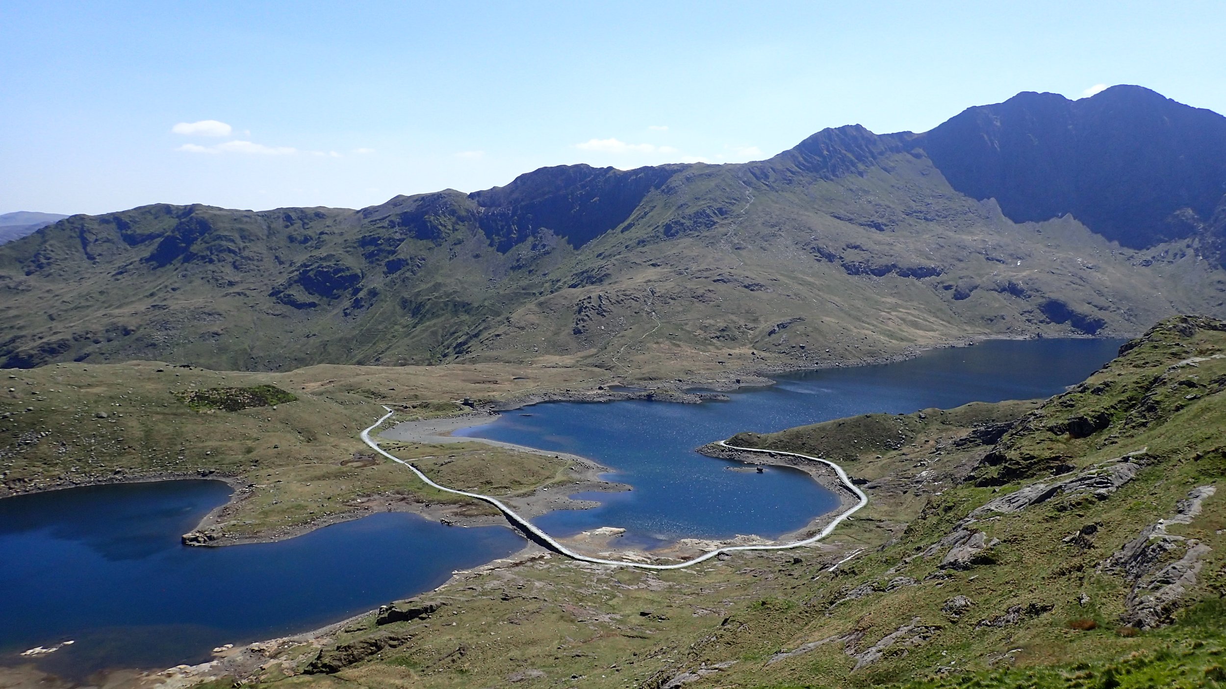
View from the Glyderau ridge (aka, the Gliders), one of the finest traverses I’ve hiked anywhere.
Photograph by Liz Thomas
On the one hand, the Snowdonia Way has cross-country knife-edge ridges, buchwhacking (bramblewhacking?), and stellar mountain scrambles. But the route also visits archeological sites and remote villages where everyone speaks Welsh. The Snowdonia Way takes pilgrims to the valley where King Arthur was killed and past the mountain where Merlin became a wizard. Likewise, it’s hard to talk about Wales without mining history. The route explores the role that has played in the country and the landscape over the centuries.
There’s a high route and low route. Which route hikers take can be tailored to weather, scenery, energy levels, and how much time you have.
Here’s a quick run-down of the Snowdonia Way:
Length: 97 to 123 miles, depending on whether hiking the high or low route
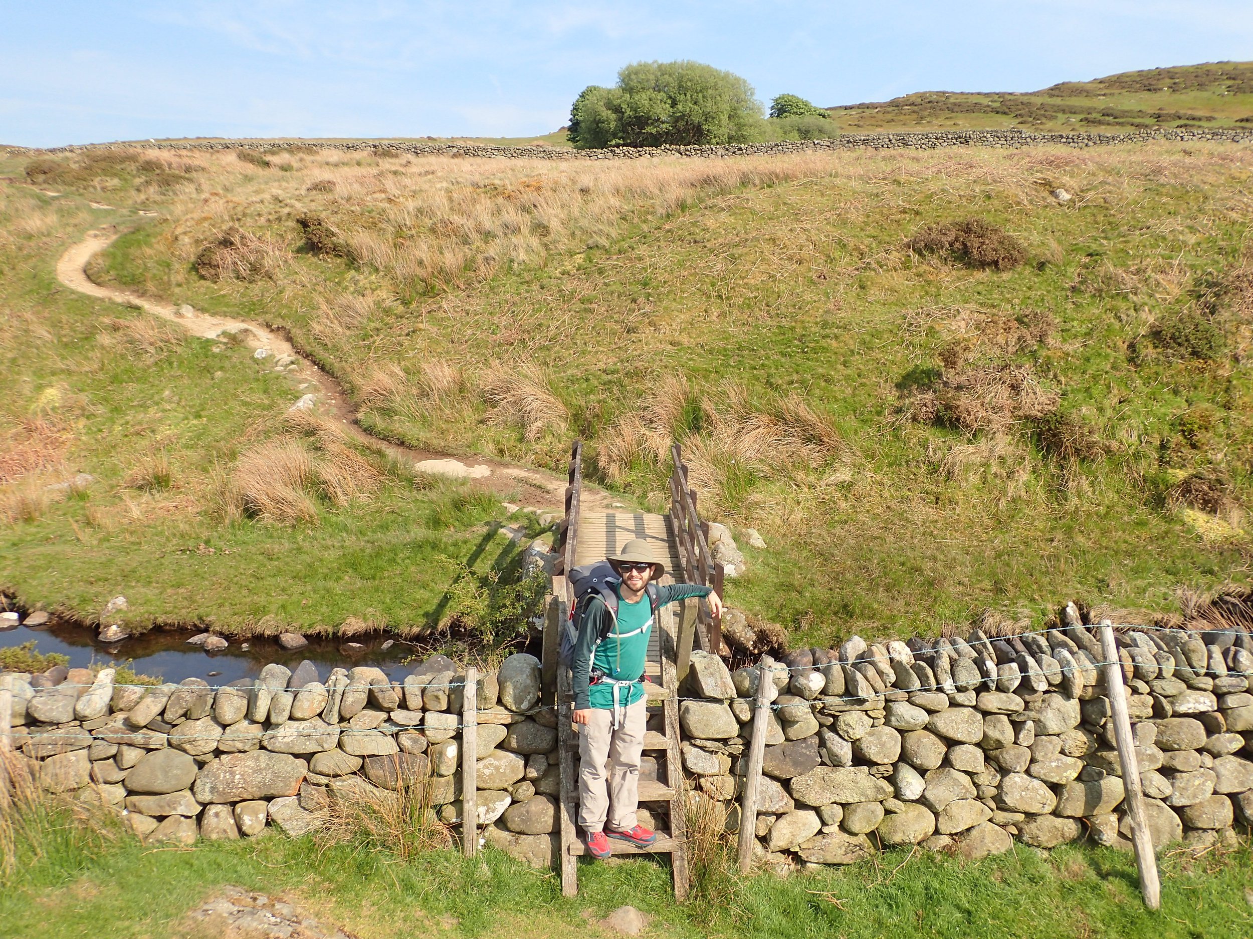
Navigation and route conditions: As a route, I enjoyed how the Snowdonia Way mixed well-established trails with off-the-beaten paths, tracks, right-of-ways, following ancient stone walls, and cross-country scrambling. There are no sign posts, markings, or mentions of the Snowdonia Way anywhere on the ground. This is a point the guidebook author could’ve done a much better job emphasizing. This is a route. That’s one reason why this guidebook is more useful than almost any other I’ve purchased before, specifically when it comes to navigating on right-of-ways through private farms (we’d call them “ranches” in the U.S.). We also found the downloadable GPS track mentioned in the back of the book to be useful.
Resupply: the trail is broken into 6 segments, with resupply at the beginning of each segment. In a few places, the route also passes cafes or other resupply options.
More information: Since this is a brand new route, the only information we could find on the route was the Cicerone book, the Snowdonia Way by Alex Kendall. He devised the route himself in the same way that American thru-hikers develop their own dream routes. Cicerone guide books are the gold standard for European hiking, so the information and layout are of a much higher standard than what I’ve seen for most freshly-minted routes.