
Tokaido Nature Trail: Logistics and Planning

The trail up to the northern termini of the Tokaido Nature Trail
In the U.S., the term “nature trail” denotes the one-mile long interpretative boardwalk next to a parking lot. It’s the place for toddlers in strollers, not a place for hardcore backpacking. So, as I scoured the internet for wild long distance hiking trails in Japan, I was skeptical to find the Tokaido Nature Trail. While the Shikoku Pilgrimage (aka Temple Trail) remains Japan’s most famous long distance trail, I wanted to walk a less publicized, more primitive path. Yet the Tokaido Nature Trail does just that—travels 1,000 miles from Tokyo to Osaka along mountains and forest reserves. I was a little surprised to find such a trail exists in Japan, especially one whose termini are so easily accessible to a car-less foreigner, yet this summer, I set off to hike on one of Japan’s longest and least publicized footpaths.
Almost all the information on the Tokaido Nature Trail is in Japanese, including the maps. Although I am ashamed to say I can’t read much Japanese, I became quite proficient at comparing Japanese characters on signposts to characters on my map. In addition, I am thankful to my mom, a native Japanese speaker, who painstakingly helped me translate maps and internet-based material. My goal in writing a series of blogposts about the Tokaido Trail is to provide a bit more information on the trail in English to would-be long distance hikers.

Mom enjoys some konnyaku yam cake at one of the food stands along the “trail”
My mom joined me for the trip out to the northern termini of the Tokaido, Mt. Takao, easily accessible by train from Shinjuku, the financial district of Tokyo. Somewhat like Mt. Katahdin, Mt. Takao is a termini that is a destination in itself. Even for hikers who have no interest in doing the Tokaido trail, Mt. Takao is still worth visiting. I shared the first part of the popular trail with school children in matching bright caps on a field trip.
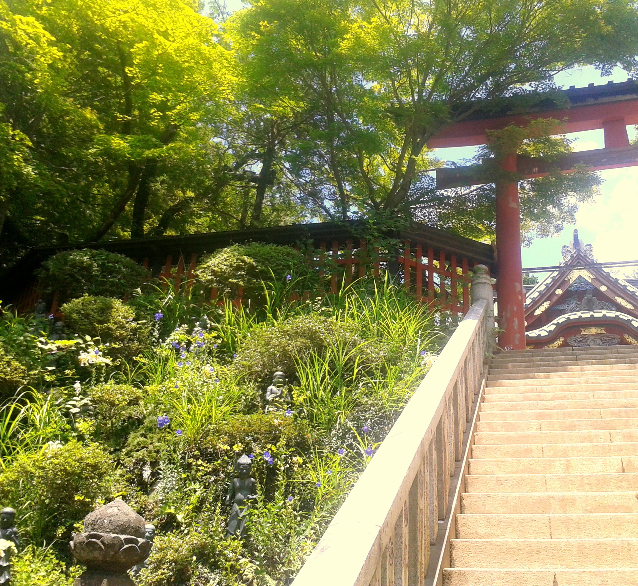
Japanese garden lines a stairway up to a temple.
There are several routes up Mt. Takao, including taking a tram halfway up. My mom says that the temples, shrines, and old growth cedars along the trail are not particularly interesting to native Japanese people, but as a foreigner, it was fun to see them along the trail. Perhaps for a break from the climbing, my mom stopped to make a wish to the Buddhist angels for my safe journey.

View from Mt. Takao
In standard Japanese fashion, we found several restaurants complete with celebrity-signed photos at the summit. Yet, Takao-san is also home to several rare plants and animals (including a Japanese monkey preserve). On a good day, the climber is rewarded with views of Mt. Fuji and Tokyo. Unfortunately, summer smog and mountain fog made all but SkyTree Tower visible to us. Mt. Takao is easily visited by tourists and brochures and maps exist in many languages.

Well marked signs mark the Tokaido Nature Trail
Now safely at one termini of the Tokaido, I departed on my own down Takao and onto Shiroyama mountain. To my frustration, maps in Japan rarely express distance between two points, instead opting to show the approximate time to hike between two areas. As an ultralight hiker, I imagine my pace is somewhat faster than the suggested times listed on maps. Eventually, I found myself solidly on the well-marked Tokaido Trail—complete with signs at each intersection in English! I was ready to set off on my journey alone.