
Lost, Thirsty, Storms, and Loving It
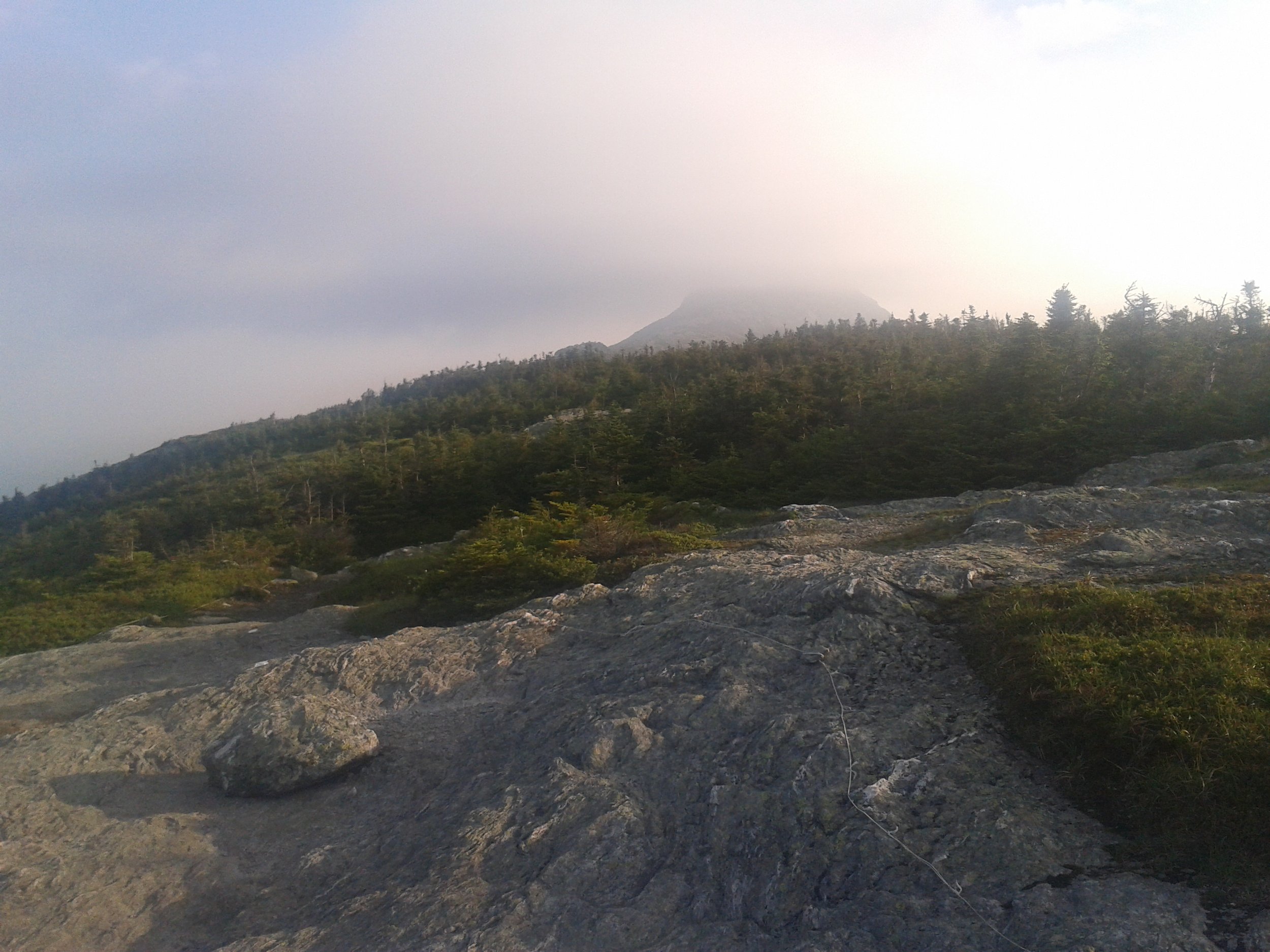
Coming up over the Forehead of Mt. Mansfield
Most epic day ever. Well, on this trail. So, thunderstorms are supposed to be rolling in this afternoon AND I have to go over the highest, most exposed peak on the whole trail today. This means getting up at 5AM and booking it. Going over Mt. Mansfield was awesome. It looks like a profile of a face from the side, so I climbed ladders and tight squeezes that were kinda sketchy for something that counts as a “hike” instead of a “climb” up to the Chin. The mile-long high alpine-tundra walk to the Forehead was ALL mine even though there is a parking lot near the top that usually leads to a crowded summit.

Not dog friendly exposed pitch of Mt. Mansfield
Then there was a sweet downclimb referred to as “an exposed pitch unsuitable for dogs.” Once out of lightening territory, I was on a major time crunch to make it 20 miles to the trail angel run hostel, that preferred me to check in before 6. All good and well except for that I got lost on the roadwalk in Smuggler’s Notch on Highway 108 near Stowe. I thought the trail would cross the street, but instead if was somewhere to my left or right along Highway 108. (This might be a good time to say that I bought the wrong guidebook, or at least needed a different one or a map for this trail). I was able to deduce from the sign at the roadside kiosk that the trail was to the left, but I kept walking, and walking. I found the Smuggler’s Notch picnic area, but no white blazes anywhere. So I kept going, and going, and going. This being my first thru-hike with a Smartphone, I figured I’d try my luck. Sure enough, half an hour of going completely out of my way, I found out that the white blazes continued back at the Smuggler’s notch picnic area to the left of/BEHIND the bathrooms (thank you to someone’s trailjournal where I read that!! May my entry help someone else in need as well!).

Dawn on Mt. Mansfield
For the rest of the day, there was some super steep ski trail and between Sterling Pond shelter and Whiteface shelter, I really could have water which was impossible to find (note to other hikers: stock up! Made up some time on the downhill of a logging road walking in the rain. How’d my toes feel about the downhill….owwww! 4610′ gain