Streetwalker: Thru-hiking the longest, wickedest street in America
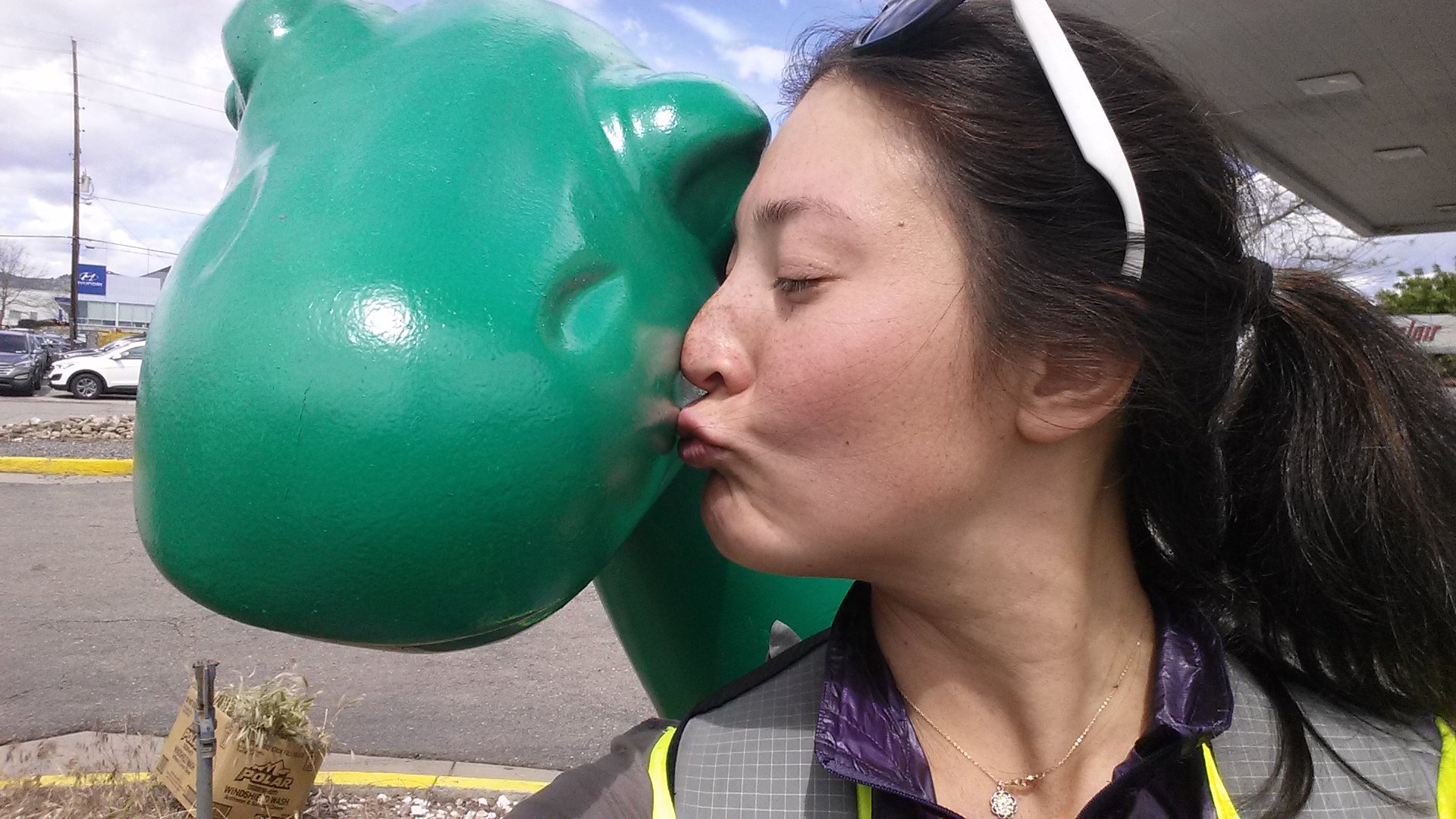
Some dino loving on Colfax
Playboy Magazine once called Colfax Avenue the “longest, wickedest street in America,” and with good reason. At 53.3 miles long, it actually may be the longest boulevard in the world (boulevard implies a divider between lanes).

The Judgemental Map of Denver from Judgementalmaps.comm by Trent Gillapsie
The Denver Judgmental Map that was popular a few years ago describes it as being full of “hookers/drunk people/hobos” while a South Park episode shows Jimmy trying to solicit a prostitute on Colfax. Jack Kerouac mentions Colfax in On the Road as the place where Sal Paradise, the main character, lives for a time and gets drunk. Though it’s a major thoroughfare in Denver, no one I talked to could claim to know what was at both ends of Colfax. My curiosity got the better of me, and as one inclined to walk instead of drive, this week, I walked Colfax Ave., end to end.

Reclaiming Colfax from its historic reputation
When I told my idea to any local who has lived in Denver for more than 20 years, the response was usually a cross between “why?” and “that’s dangerous.” Even my most street savvy friend warned me not to go solo. Prior to this trip, my main experience with Colfax was the 3 miles between downtown and my grocery store. The longest I had ever walked on Colfax before this hike was the Denver Pride Parade.
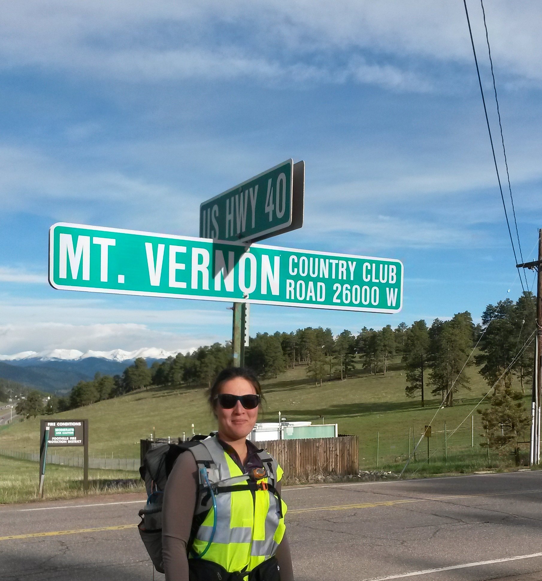
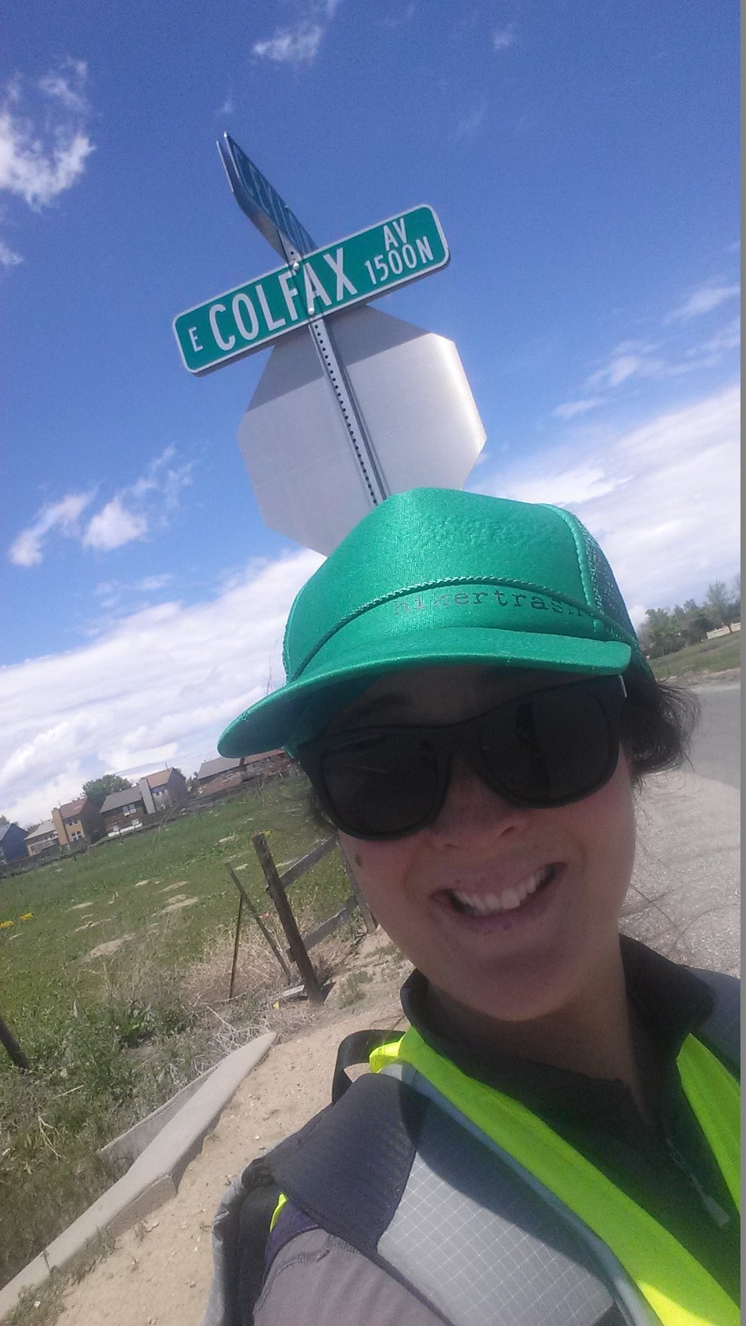
A potential starting point of Colfax Ave.
At least one source I read suggested that Colfax starts at Mt. Vernon Road near Genesee County Park (near the buffalo herd, for those familiar with I-70). So, of course I had to start up at the Mt. Vernon Road Park and Ride, and hike 5.6 miles down windy narrow-shouldered Colfax through the mountains past alpaca farms and the much more inviting Apex hiking trail to the T-Rex Parking Lot just outside Golden that is generally accepted as the western terminus of Colfax Ave.

The mountain like start of Colfax.
From here, the road continued to be lacking a side shoulder, but I spotted my first sign with the word “Colfax” on it! I also saw my first other pedestrian, a traveler who seemed just as shocked to find a backpacked young woman walking Colfax as I was to see a person walking at all!

Alpaca Farm on Colfax.
Colfax travels next to a minimum security prison and a sign warns drivers “not to stop for hitchhikers.” At the time, I was walking a wider shoulder against traffic and noticed that a cop car was headed towards me and pulled up right behind me—on the shoulder where no car really would have any interest of pulling over. It then hit me: with my neon vest and being the odd pedestrian hiking Colfax near the prison, he thought I was an escapee.

Burrito time!
Shortly after, Colfax offered me its first foraging opportunity: a gas station that sells the delicious, cheap and local Santiago’s breakfast burritos. Not half a mile later, the expansive Colorado Mills mall offered me every food item I could dream of, and I stopped for an extensive lunch and to use Wi-Fi.
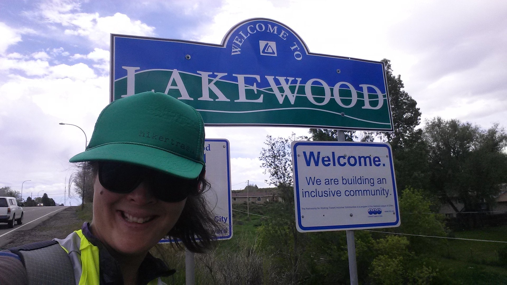
Entering an All American City
As I skirted the edge of my second city, Lakewood, I lost my much enjoyed sidewalk. Colfax became residential and I even passed a goat farm. One of the odder sightings on Colfax was a Jewish cemetery, oddly placed right next to the road. I can only imagine how much Lakewood had seemed like the boonies when the cemetery was placed there.
Sometimes, you can’t make Colfax up.
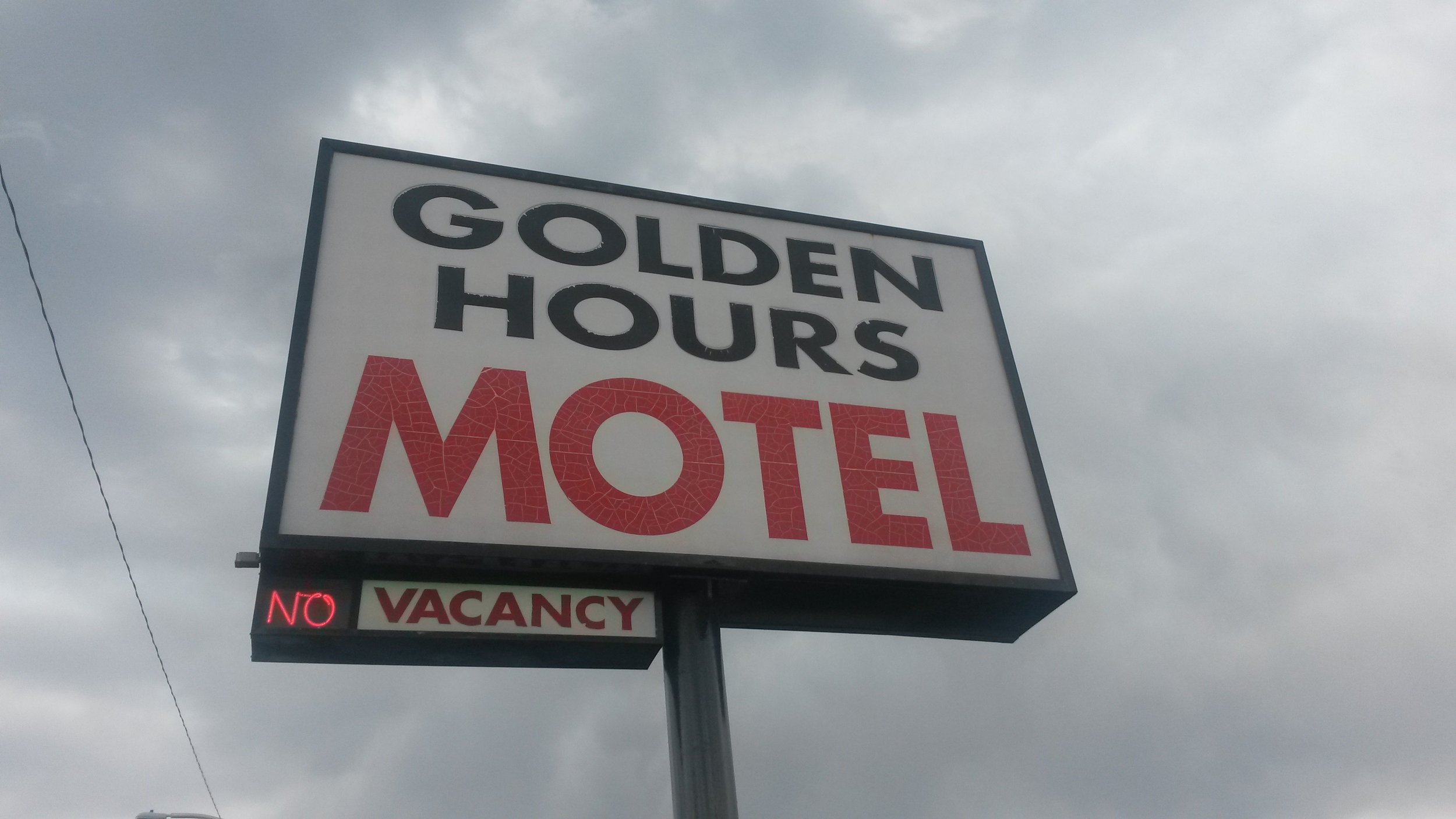
My friend Val met up with me near the Oak Station Light Rail stop, right after I passed the iconic Golden Hours hotel. We passed through a neighborhood where seemingly every other business was a dispensary, grow shop, or head shop.

One of Colfax’s famous old school neon signs.
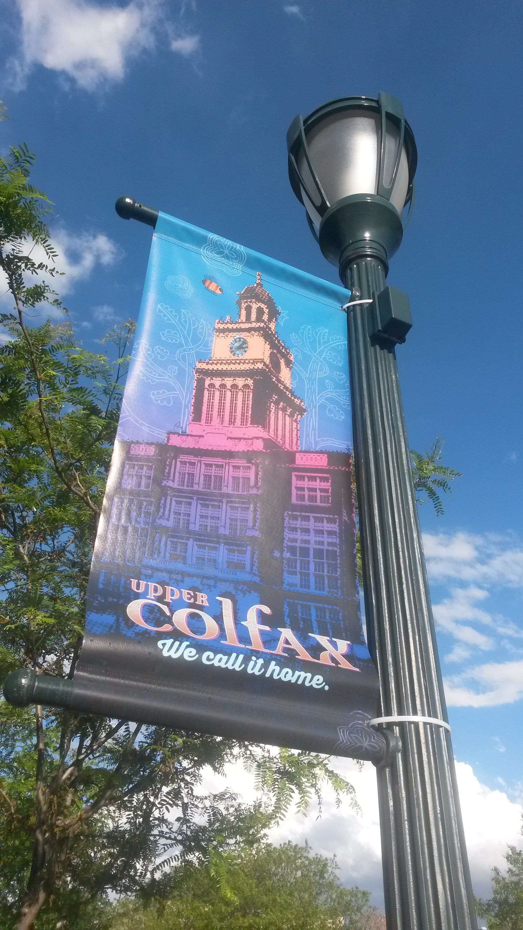
Colfax is famous for its neon signs, vestiges of a bygone era when Colfax was the only east-west road connecting Denver to the mountains and plains. This area was ripe with shabby neon signs, hokey in a 1950s kind of way.

Casa Bonita isn’t just something the cartoon characters in South Park made up.
I suspected we were getting closer to Sloan Lake and Denver-as-I-know-it when I spotted what appeared to be an immaculately kept church on the north side of the road. But, foolish as I was, this was another Denver landmark: Casa Bonita! Although I didn’t stop for lunch, I had to take a photo with the restaurant-cliff-diving-attraction that is featured frequently in South Park.
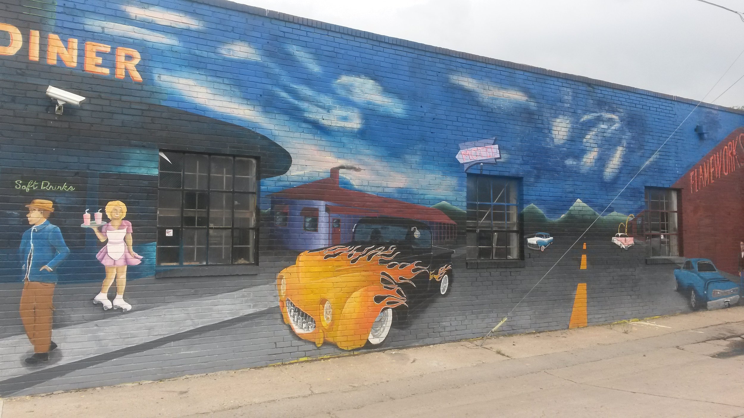
Mural on Colfax Ave.
Val left me at the as I approached an area I was somewhat familiar with—Colfax and Sheridan, where I had taken the bus several times to Sloan Lake. The intersection was under construction and the sidewalk and shoulder was gone leading to dangerous walking. It’s surprising how the gentrification of the Sloan Lake neighborhood did not appear to extend to Colfax.

All that walking to see iconic downtown Denver: Mile High Stadium and the skyline.
The only time I was approached by a street person on this trip occurred here. He asked me what I was doing, and I told him “walking Colfax” but it was a very kind interaction, and I actually walked away feeling better about the world.

The overpass and clover leaf highway system coming into downtown Denver
I took a rehydration and pit stop break at the beautiful new Corky Gonzalez library, which I had yet to visit. It warmed my heart to see how well used the new library is. How wonderful that Denver Public Library has invested in bringing resources like this to previously underserved neighborhoods.

The scariest part of Colfax is this crosswalk on the on-ramp to I-25.
There were a few areas on the walk of Colfax I was concerned about, and the giant double clover highway system between and I-25 and Auraria Parkway and Federal near Mile High Stadium was one of them. I wasn’t sure if I’d have to get off on a frontage road and walk under I-70 or walk the railroad tracks or what.

Looking back west at the mountains and Colfax from downtown Denver
It turns out there is a nice sidewalk on Colfax throughout this area except for the sketchiest part of the whole hike: on crosswalk right before the on-ramp to I-25. There was another pedestrian on the other side of the crosswalk and we shared out trepidation about darting in front of cars accelerating to get on I-25. I can only imagine how bad it would be during rush hour!

Beautiful downtown Denver.
The walk past Auraria and into Civic Center Park was familiar, after seeing so much of Colfax, I was able to appreciate the beauty of this area even more.
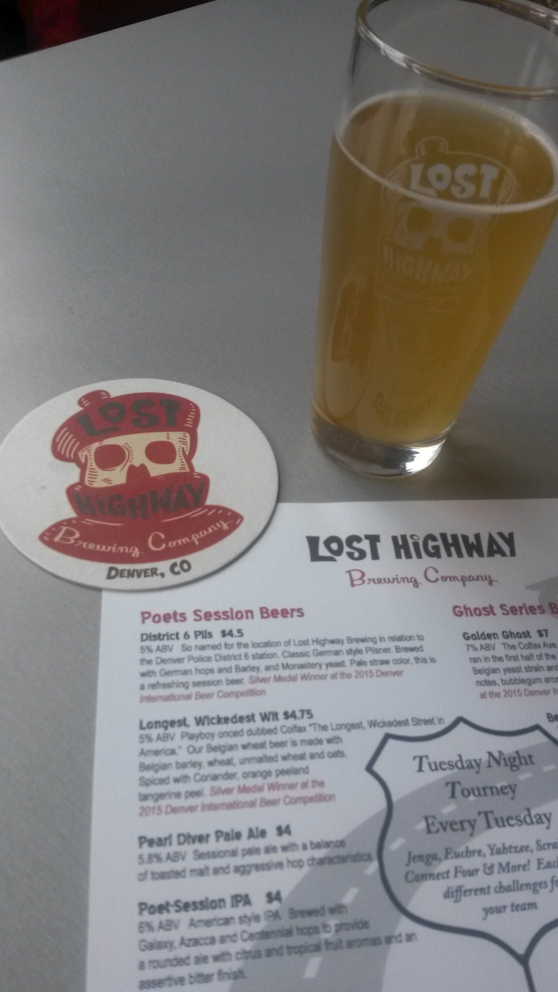
Lost Highway brewery is named after Colfax Ave.
I stopped at Lost Highway brewery, where all the beers and the name of the brewery itself reference Colfax Ave. Next, was a break at Voodoo Donuts, which as quickly become a Colfax landmark.

Voodoo donuts on Colfax
My day ended near there, where I stayed at a friend’s house, ready for more Colfaxing the next day.

The beautiful and iconic East High School on E. Colfax.
The next morning, I had to stage myself near a WiFi for a phone call. Instead of the Starbucks at Krameria, I opted for Blunozer, a cute coffee shop on Ivy and Colfax filled with antiques and the friendliest owners I’ve met anywhere. It was a true highlight of the trip and a break before entering what my friends had warned me would be the sketchiest part of the hike.
Working at Blunozer on E. Colfax
Walking forces us to be accept and take responsibility for the Colfax we created. By not just driving past it, but walking through the neighborhoods, we can’t just ignore what Colfax is and what it was. I had no problems walking through E. Colfax through Aurora, but was shocked how much harder off the area is when observed by foot rather than by car. It is the area that the rest of greater Denver has ignored. I can’t help but wonder how life could be better for the people who live in this area if only the politicians and city planners were to walk here.

The open space of east E. Colfax
No one I had talked to knew what Colfax looked like on the other side of Anschutz Medical Center and I-25. I entered the unknown, which ended up reminding me of the wide suburbia strip malls where I grew up. There was plenty of sidewalk, food, and pit stop areas. The area became more fields, more farms, more rural all the way to E-470 near Buckley Air Force base. This is where things became tricky.
I remembered seeing Himalaya St on the Highline Canal Trail and had to take a photo.
Colfax Ave. disappears for a mile in this area as the Colfax as I have been walking turns into an on-ramp. Instead, I walked a frontage road.

The coal train headed to the eastern plains.
Around 2 pm, I realized I had 21 miles left to go and would have to be making 4 miles per hour to finish before dark. Luckily, the terrain and turned to fields and plains with few traffic lights or stop signs to slow down my pace. I saw numerous road kill and for once on my trip, stopped hearing the sound of cars whizzing past me. I switched to a fresh pair of shoes (I carried an extra pair) and was ready to crank miles through a part of Colfax that looked like Kansas. Sometimes, the grain silos of towns 10 miles ahead were the only topography visible on the horizon.

The Denver Post gets delivered all the way out here???
For the next 20 miles, I saw plains, trains, and roadkill. Among the dead, there were prairie dogs, snakes, and a disturbing amount of songbirds. Colfax parallels I-70 here, but is used by local traffic and especially large farm equipment. I walked through the town of Watkins and Bennett—which could not be any different than the Colfax I had started on that morning other than I bizarrely saw Denver police car there.

The end point of Colfax ave in Strasburg on Headlight Road.
Colfax ends in Strasburg, a world away from the Colfax of downtown Denver. The Plains Medical Center I had been using as a landmark in Strasburg was not the Anschutz-like campus I had imagined, but just a small building. I was joined by my boyfriend and his family for the walk in Strasburg. Colfax Ave. ends at the east part of town on Headlight Road where it Y’s into 15th avenue and Highway 36 (which goes to Indianapolis).
Colfax pride, wherever the street takes you.
I finally answered my question: where does Colfax go? Most importantly, I had walked a diverse intersection of Denver metro-area culture from its most iconic to its forgettable and forgotten. Hiking Colfax allowed me to connect the Denver metro area in my mind in a way that cars, interstates, and rushing to work had never allowed me to do.